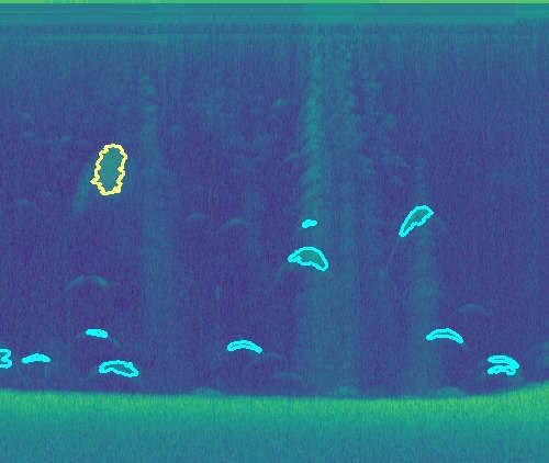
Create detailed bathymetric, aquatic, and coastal habitat maps automatically by recording sonar from low-cost, yet powerful Lowrance® or Simrad® sonar devices. EcoSound automates the processing of sonar files with sophisticated automated algorithms based on cloud servers. Sonar files are processed automatically upon upload, and high-quality maps and spatial datasets are delivered to your secure online BioBase account within minutes and available for downloading and sharing with partners, stakeholders, or customers.
Rapid bathymetric mapping and data generation; Access to basic online vegetation and bottom composition charts; All the basics for informed waterbody management
Rapid and detailed bathymetric, vegetation, and composition mapping and data generation; Get a more detailed picture of bottom habitat conditions
Annual | $2,799 | |
Single Waterbody (30d) | $399 | |
30 Day Trial | Free | |
Govt | Free |
Ability to generate high definition data sets for the analysis of waterbody bathymetric characteristics
Everything in Basic plus high definition maps and data generation of aquatic vegetation and bottom hardness
Everything in Habitat, plus automated statistical reports and GIS and Google Earth Exports
When a subscription lapses and customers do not choose to renew, they can purchase a Maintenance subscription that allows access to trip analysis but restricts access to new uploads. Costs of the maintenance subscription depend on the customer’s storage. The maintenance fee is included with any yearly subscription plan.
Semi-automated processing of high-resolution satellite images maps emergent floating, and near the surface, aquatic vegetation in wetlands and lakes. Benthic habitats are classified using the coastal and marine ecological classifications standard. Exportable Lowrance® and Simrad® GPS Charts, ESRI Shapefiles, and Automated Summary reports of the Total Area of Each Classification are created automatically.


- High resolution GIS polygon creation of habitat objects (e.g., vegetation beds, coastal reefs)
- User controlled class lumping and naming
- Lowrance or Simrad custom GPS charts of classifications created automatically
- Automated HTML reports summarizing areas of each habitat classification
- Ability to download classification GIS shapefiles
- Custom polygon tool that executes intersections within an area of interest
- Train or validate classifications with on-the-ground data
- Coastal and Marine Ecological Classification Standard (CMECS) used for coastal habitat typing
- Organization sharing
Provider | Sensor | Resolution (m)a | Bands | Process | Min Area (km2)b |
Provider | Sens. | Res. (m)a | Bands | Proc. | Min Area (km2)b |
European Space Agency | Sentinel | 10 | 13 | Archive | 25 |
Airbus | Pléiades | 2 | 4 | Archive | 50 |
Digital Globe | World View | 2 | 8 | Archive | 50 |
Digital Globe | World View | 2 | 8 | Archive | 100 |
a Contact us about your desired minimum mapping unit which is often larger than the sensor resolution b Area of interest polygon must be no narrower than 5 km at its narrowest point |
Provider | Sensor | Resolution (m)a | Bands | Process | Min Area (km2)b |
Provider | Sens. | Res. (m)a | Bands | Proc. | Min Area (km2)b |
European Space Agency | Sentinel | 10 | 13 | Archive | 100 |
a Special exceptions made for typing of narrow coastal shorelines |
Latest Updates & Advancements